
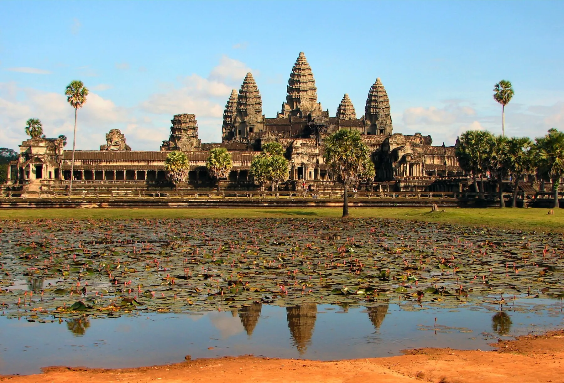
Angkor: The Hydraulic City
The largest pre-industrial city on Earth, revealed by lasers through the jungle.
Angkor was the capital of the Khmer Empire, home to Angkor Wat and hundreds of other temples. Archaeological mapping, and then airborne LiDAR that sees through forest canopy, revealed that the temples sat within a vast urban landscape of roads, canals, reservoirs and rice fields covering at least 1,000 square kilometers.
Loading the full dossier…
Connected dossiers
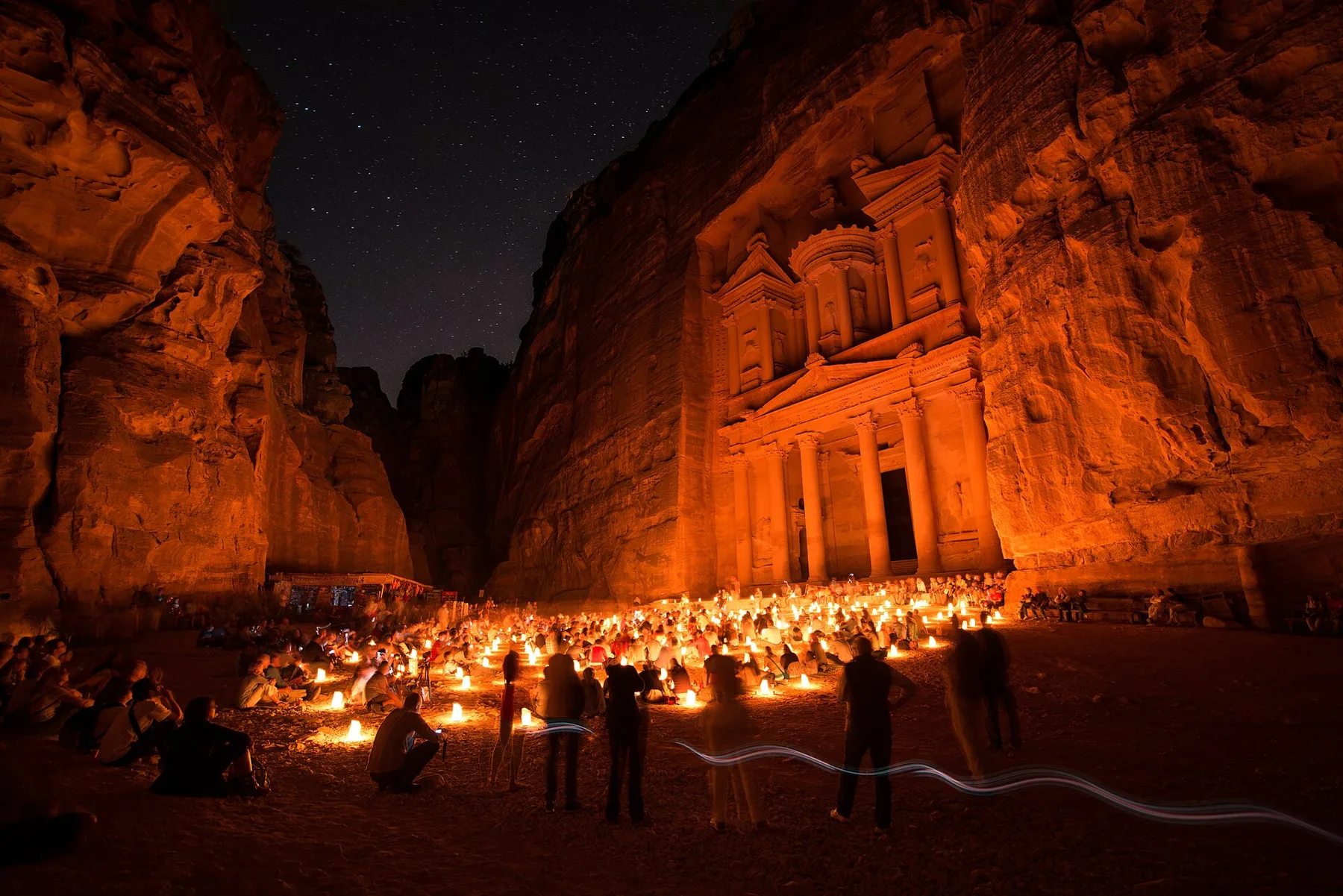 Petra: The Rose-Red CityComparable case · Both depended on engineered water management.
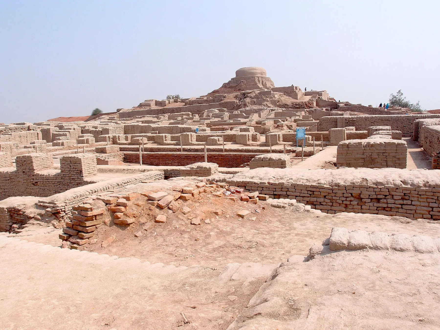 Mohenjo-daro: The Planned City of the IndusComparable case · Ancient planned cities built around water.
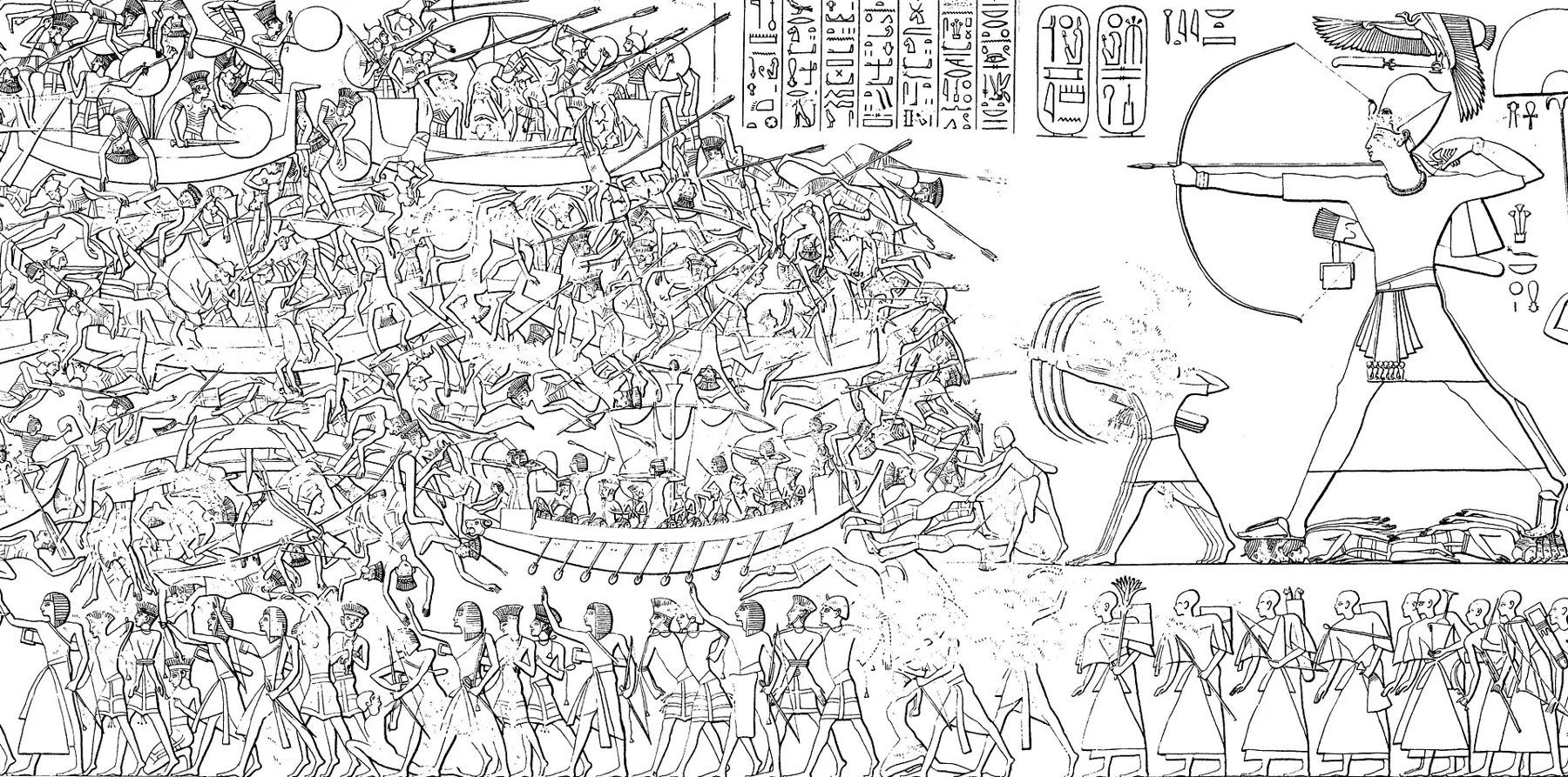 The Late Bronze Age CollapseComparable case · Collapse under climate and systemic stress.
See Angkor in the discovery universe →
Ask the archive
Have a question about this dossier, or think a claim needs a better source? Send it to the editors.
How to read the labels
Hero image: Angkor Wat at late afternoon, Siem Reap. Photo: Bjørn Christian Tørrissen · CC BY-SA 4.0 · via Wikimedia Commons. Evidence labels describe the written claims, not the image. Version 1 · updated 2026-10-22.