
HISTORICAL MAPS · C. 1650
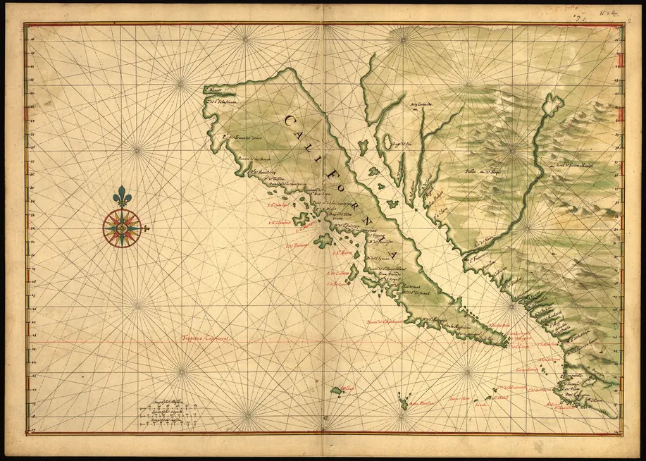
California as an Island
For more than a century, Europe's best maps showed California as a giant island. This hand-painted Dutch chart is one of the finest.
- Made by
- Joan Vinckeboons (Johannes Vingboons)
- Date
- c. 1650
- Held by
- Library of Congress, Washington, D.C. (G3291.S12 coll .H3)
- Medium
- Manuscript, pen-and-ink and watercolour, 48 × 69 cm
Loading the annotated map…