
Historical Maps
26 of the rarest and strangest maps ever made, from an Egyptian papyrus of about 1150 BC to a Marshall Islands stick chart of the 1920s. Each one is a real artifact, photographed or scanned by the museum or library that holds it. Explorer members can zoom into every map at full resolution and open 131 annotated notes, each tied to its source.
 C. 1156–1150 BC
The Turin Papyrus Map
An Egyptian map of a gold-mining valley drawn more than 3,100 years ago, colour-coded by rock type. It is often called the world's oldest geological map.
MEMBERS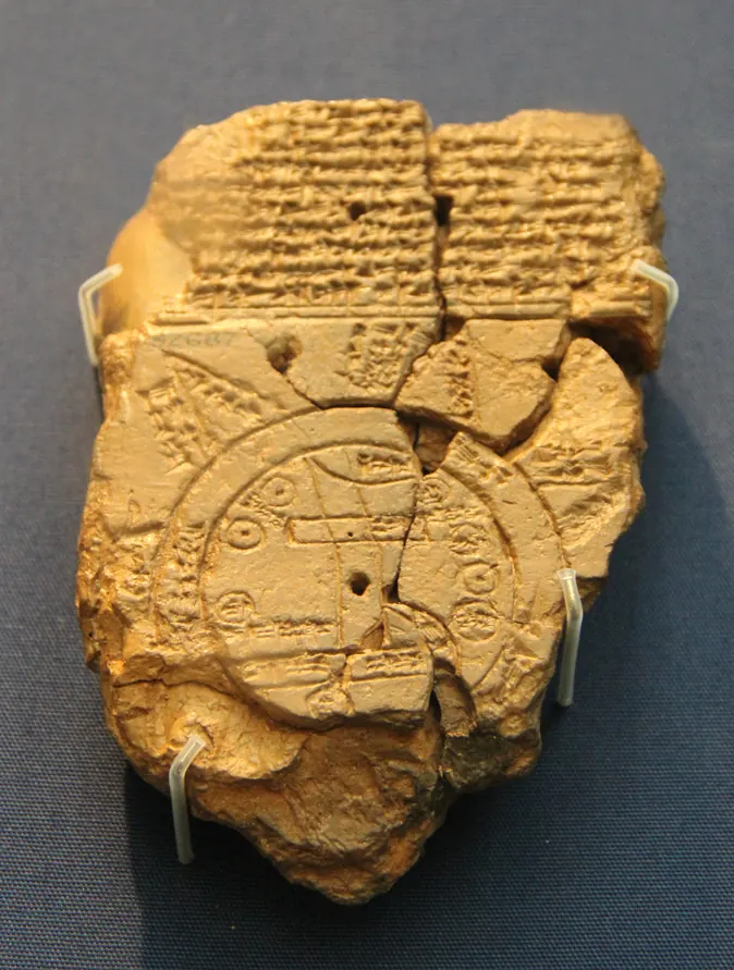 C. 6TH CENTURY BC
The Babylonian Map of the World
The oldest surviving map of the known world: a palm-sized clay tablet showing Babylon inside a ring of ocean, with mysterious triangular lands beyond.
MEMBERS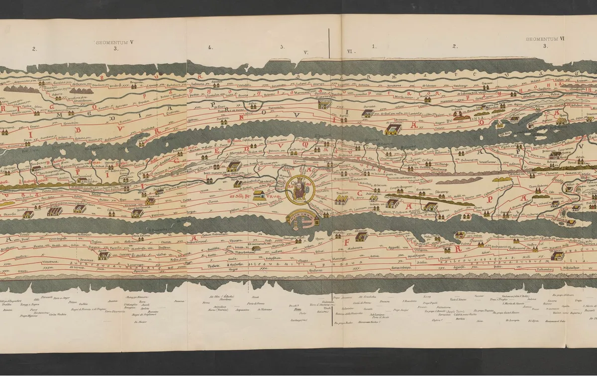 LATE 12TH-CENTURY COPY OF A ROMAN ORIGINAL
The Peutinger Map (Tabula Peutingeriana)
The only surviving map of the Roman Empire's road network, stretched into a ribbon nearly 7 metres long that runs from Western Europe to India.
MEMBERS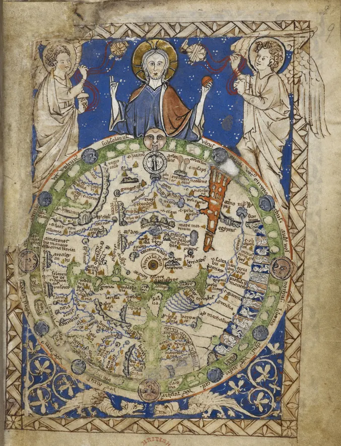 C. 1262–1300
The Psalter World Map
A whole medieval worldview, from Paradise to the monstrous races, painted in a space smaller than a playing card.
MEMBERS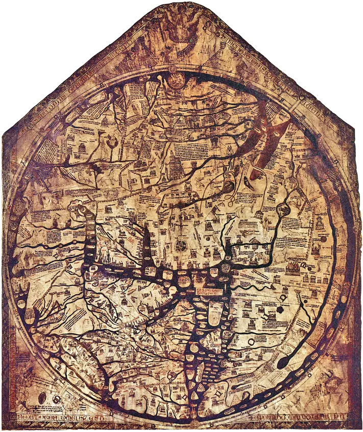 C. 1300
The Hereford Mappa Mundi
Scripture, history, monsters and marvels painted on a single calfskin around 1300, called “the most important and most celebrated medieval map in any form.”
MEMBERS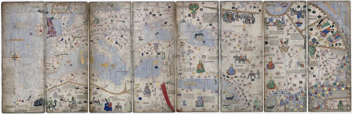 1375
The Catalan Atlas
A medieval “visual encyclopedia of the world” from Majorca, home to the most famous picture of Mansa Musa of Mali holding a nugget of gold.
MEMBERS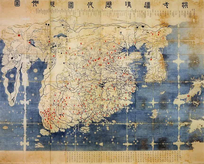 1402
The Kangnido
A Korean map that showed Africa as a sailable continent decades before Europeans rounded it, and placed Europe and the Mediterranean on the far left of the world.
MEMBERS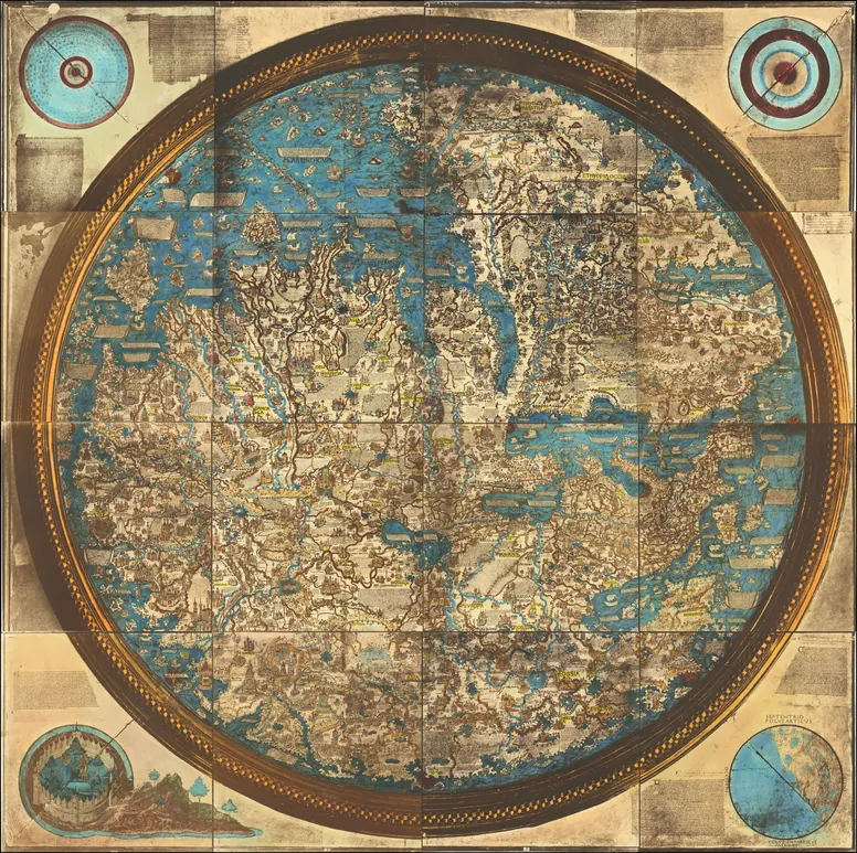 C. 1450
The Fra Mauro World Map
The summit of medieval mapmaking: a Venetian monk's world, drawn with south at the top, that showed Africa could be sailed around half a century before the Portuguese did it.
MEMBERS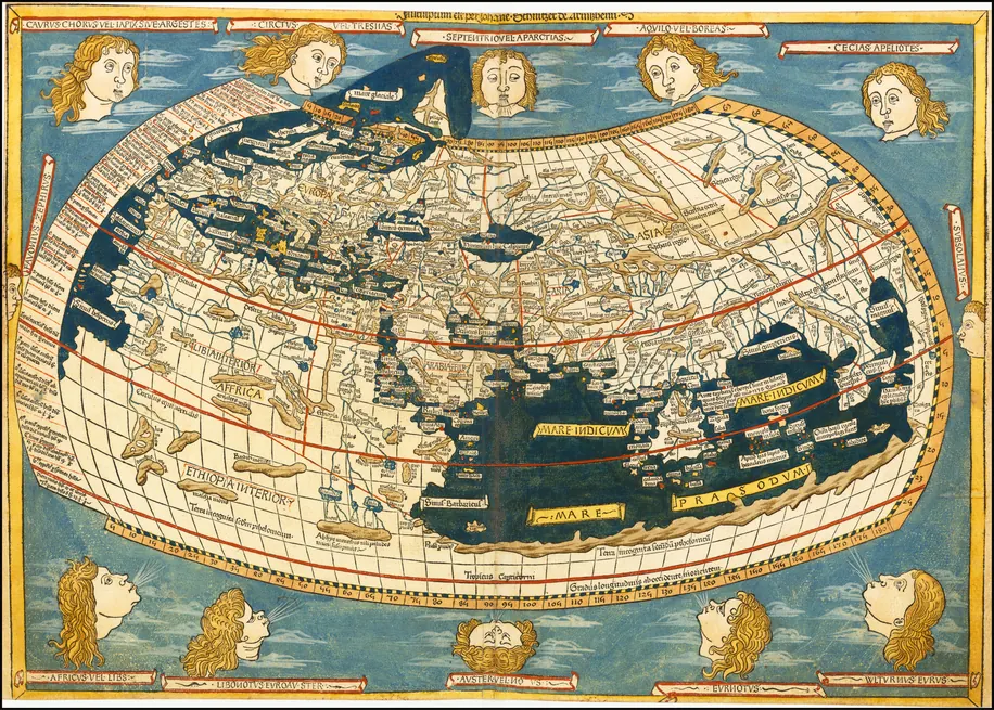 1482
The Ulm Ptolemy World Map
The ancient world of Claudius Ptolemy, revived in print in 1482, with a landlocked Indian Ocean and lands bursting through the map's own frame.
MEMBERS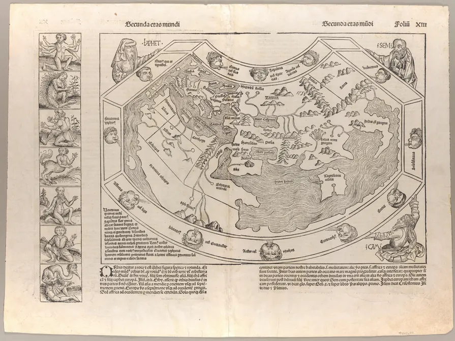 1493
The Nuremberg Chronicle World Map
A Ptolemaic world held up by the three sons of Noah and fenced by monsters, printed in “the most elaborate printed book of its time” on the eve of Columbus's return.
MEMBERS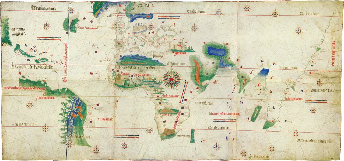 1502
The Cantino Planisphere
A state secret, smuggled out of Lisbon by a spy for twelve gold ducats: the earliest surviving chart to show what Portugal knew of the world in 1502.
MEMBERS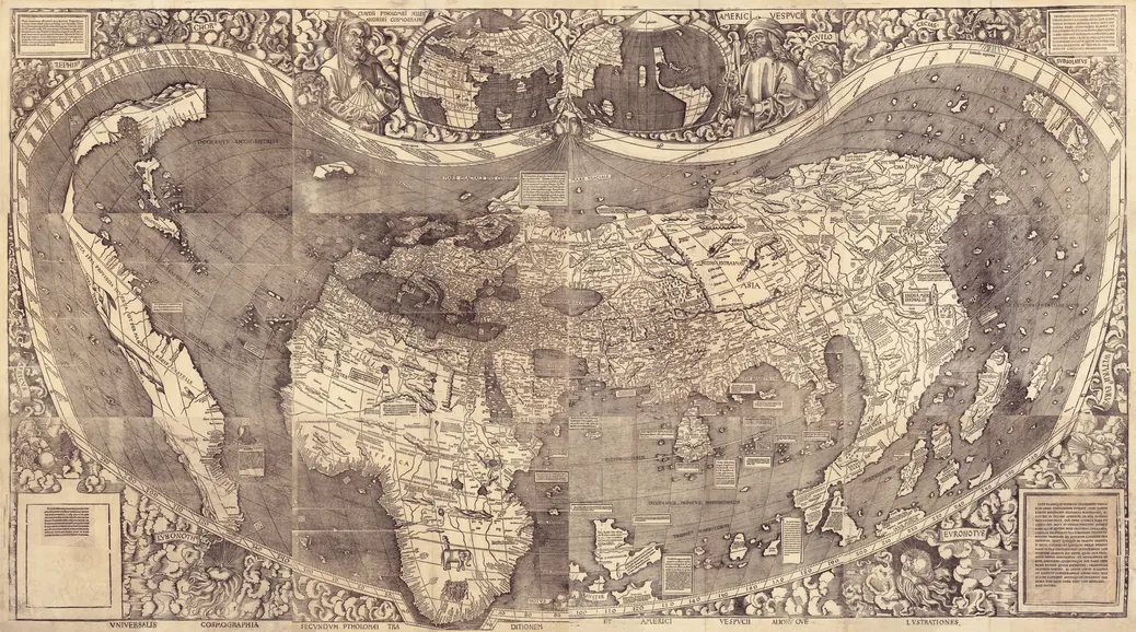 1507
The Waldseemüller Map: “America” is Named
The map that gave America its name, and the first to show the New World as a separate continent with the Pacific as a separate ocean. It is the only known surviving copy of its first edition.
MEMBERS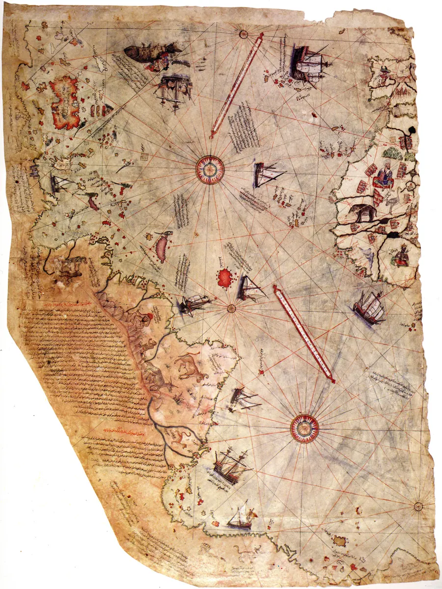 1513
The Piri Reis Map
An Ottoman admiral's chart, rediscovered in 1929, that may preserve a lost map by Christopher Columbus.
MEMBERS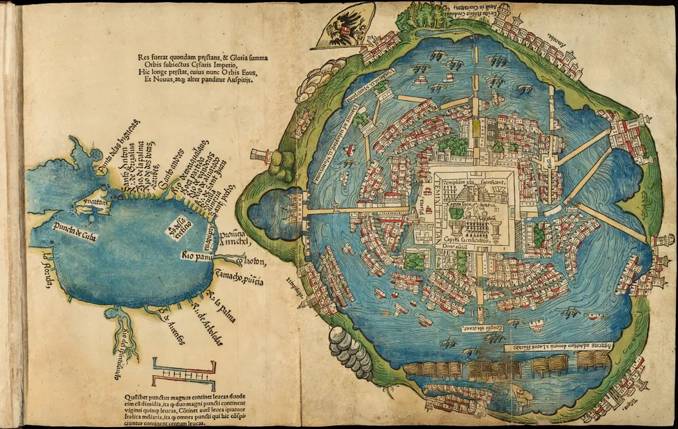 1524
Cortés's Map of Tenochtitlan
Europe's first image of the Aztec capital, printed in Nuremberg in 1524, when the island city was already in ruins.
MEMBERS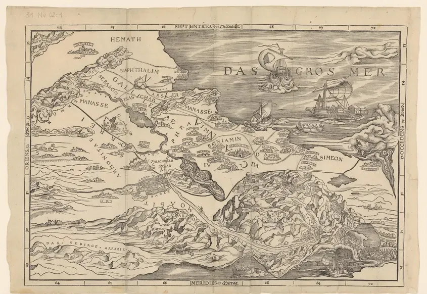 1525
The First Bible Map, Printed Backwards
The first map of the Holy Land ever printed in a Bible, and it came out as a mirror image: the Mediterranean on the wrong side.
MEMBERS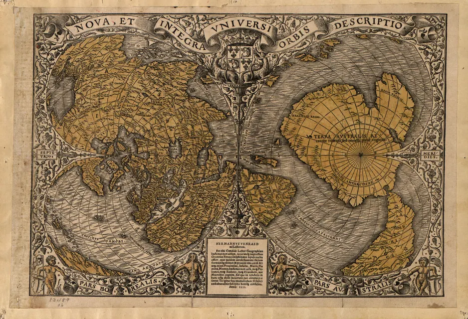 1531
Oronce Finé's Heart-Shaped World
A double heart-shaped world map with a vast southern continent. This exact copy launched one of the most famous “ancient lost civilisation” theories of the 20th century.
MEMBERS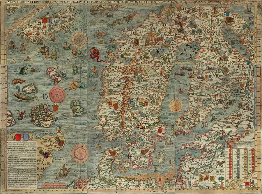 1539
The Carta Marina of Olaus Magnus
The most monster-filled map of the Renaissance: Scandinavia in 1539, where sea serpents crush ships and colossal beasts glare from the waves.
MEMBERS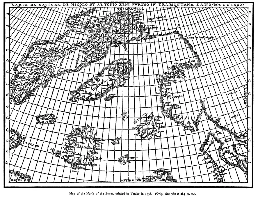 1558
The Zeno Map
A Venetian family's map of North Atlantic voyages that may never have happened. It put a non-existent island on the world's maps for more than a century.
MEMBERS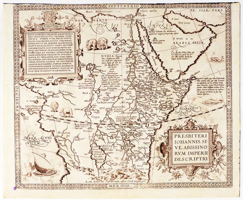 1573
The Empire of Prester John
A legendary Christian emperor, invented by a medieval forgery, given a real kingdom in Africa by Europe's leading atlas.
MEMBERS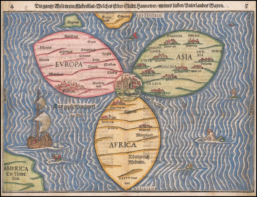 1581
Bünting's Clover Leaf World
The whole world as a three-leaf clover with Jerusalem at its heart, a love letter from a theologian to his home city of Hanover.
MEMBERS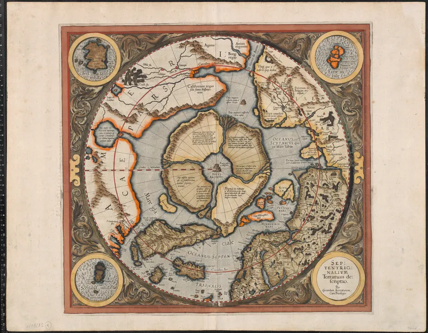 1595
Mercator's Magnetic Arctic
The North Pole as a black magnetic mountain in a whirlpool, ringed by four islands: the greatest mapmaker of his age, mapping a myth.
MEMBERS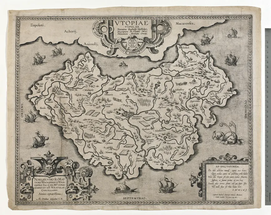 C. 1595–1596
Ortelius's Map of Utopia
The world's greatest atlas-maker drew an imaginary country, and only one copy survives.
MEMBERS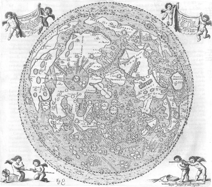 1647
Hevelius's Moon
One of the first true atlases of the Moon, where craters were named after places on Earth: Sicily, Mount Etna and the Mediterranean.
MEMBERS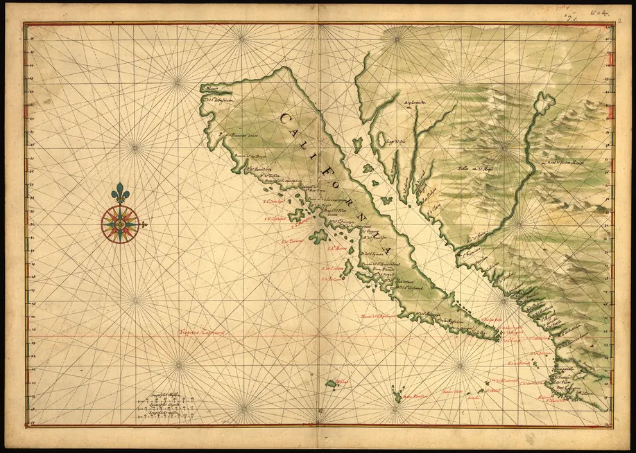 C. 1650
California as an Island
For more than a century, Europe's best maps showed California as a giant island. This hand-painted Dutch chart is one of the finest.
MEMBERS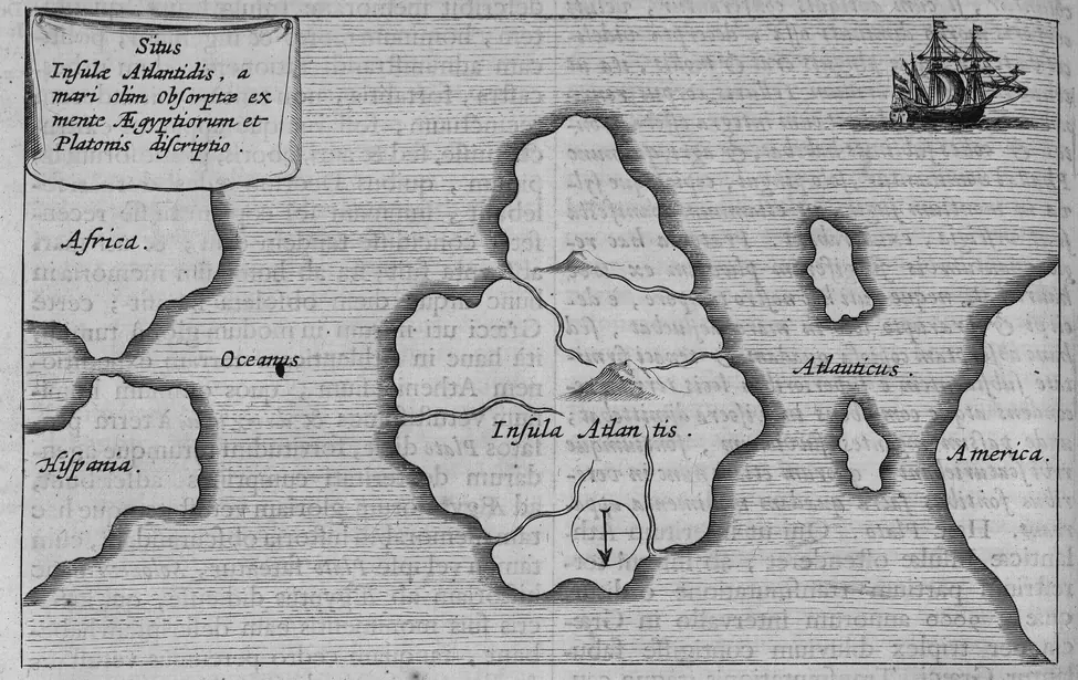 1665
Kircher's Map of Atlantis
A Jesuit polymath's map of Atlantis, with south at the top, “according to the beliefs of the Egyptians and the description of Plato.”
MEMBERS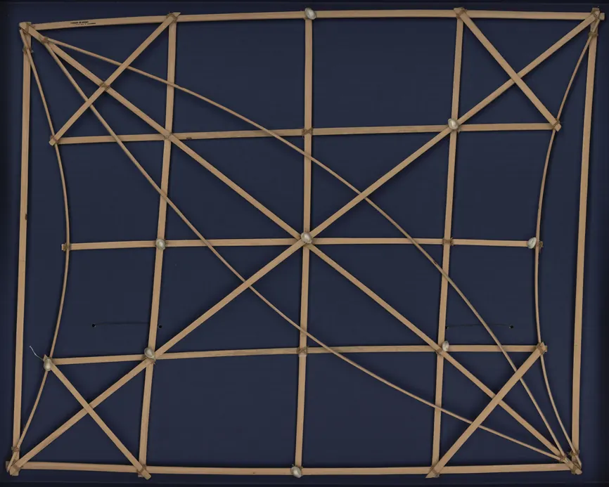 1920S
A Marshall Islands Stick Chart
A map with no land and no coastlines, made of sticks and shells, that teaches navigators to read the ocean's swells.
Atlases
8 atlases — books of maps — shown plate by plate, from the Miller Atlas of 1519 to Cellarius's celestial atlas of 1660.
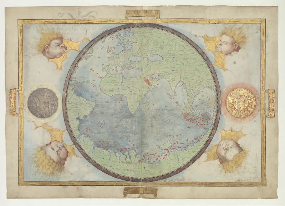 1519
The Miller Atlas
A Portuguese royal atlas made to show the reach of an empire from Brazil to Indonesia.
MEMBERS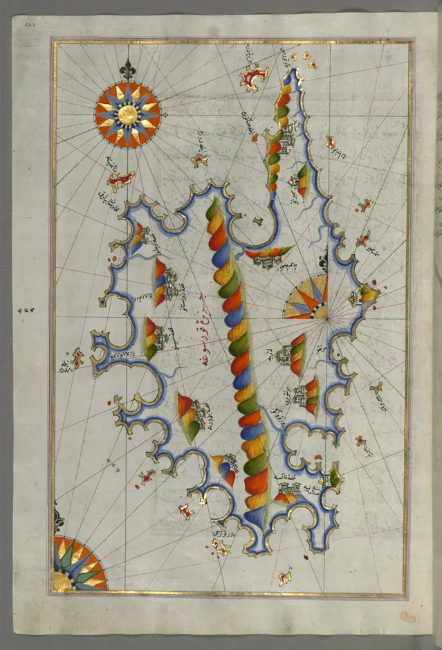 COMPOSED 1525
Piri Reis, Kitab-ı Bahriye (Book of the Sea)
An Ottoman admiral's sailing guide to the Mediterranean, with some 240 maps.
MEMBERS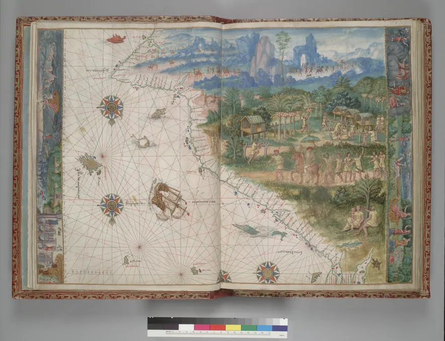 1547
The Vallard Atlas
Fifteen French sea charts, all with south at the top, including some of the first European renderings of Australia.
MEMBERS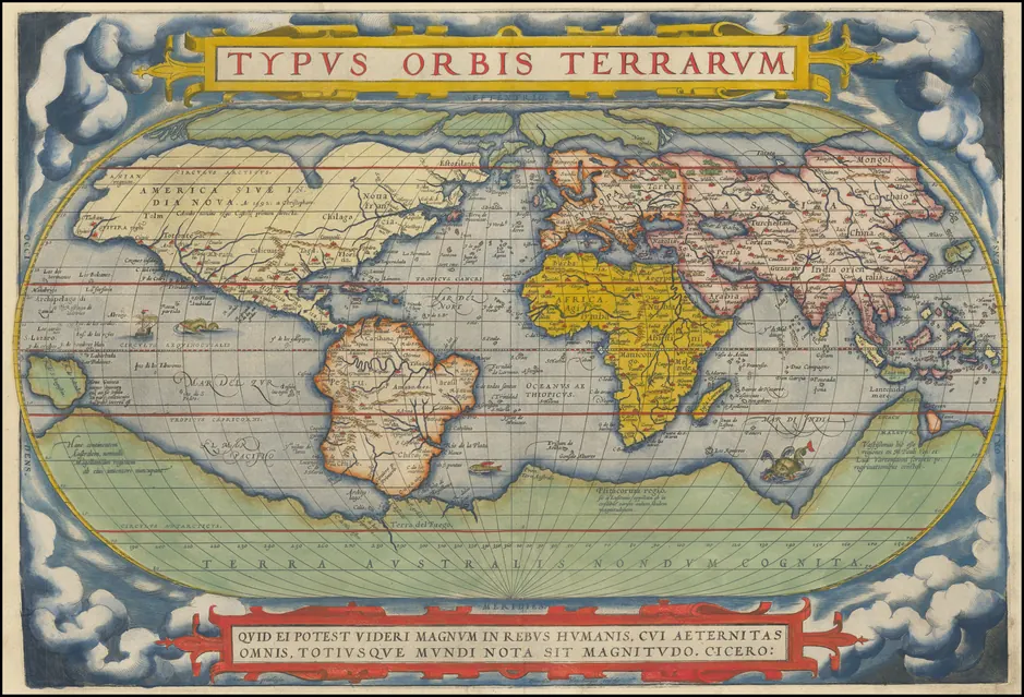 FIRST PUBLISHED 1570
Ortelius, Theatrum Orbis Terrarum
The first true atlas: uniform maps engraved for one book, with a list of every source used.
MEMBERS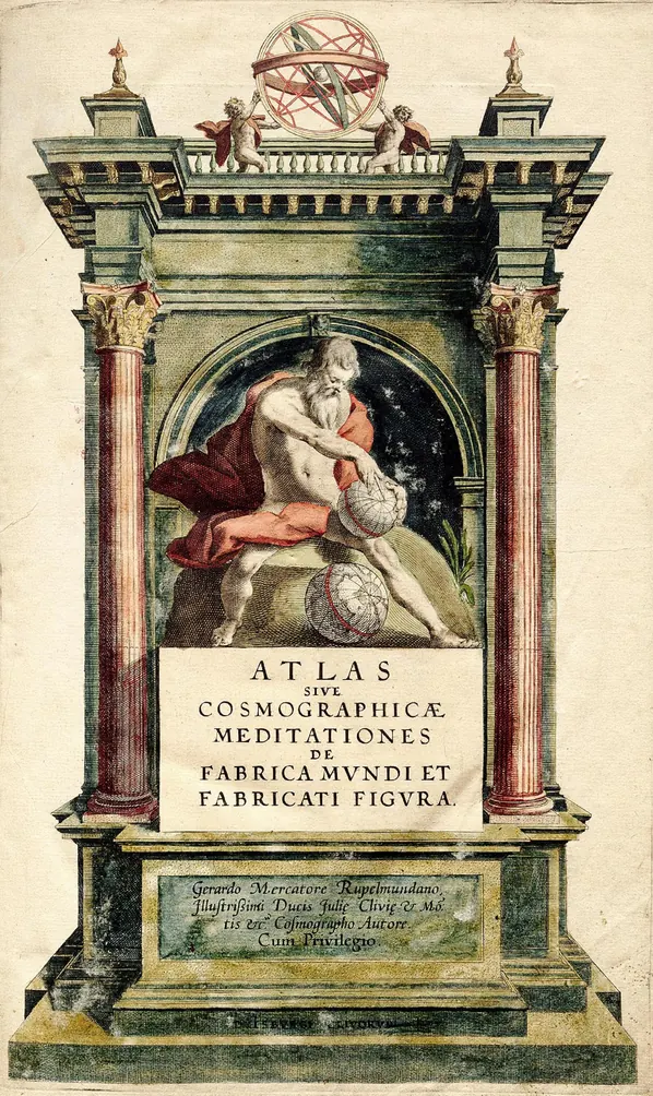 DUISBURG, 1595
Mercator, Atlas sive Cosmographicae Meditationes
The book that gave every map collection since its name — after a philosopher king, not the Titan.
MEMBERS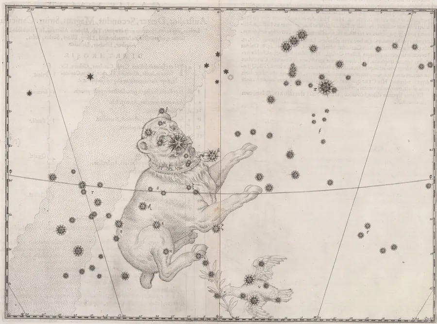 AUGSBURG, 1603
Bayer, Uranometria
The first scientific star atlas, and the reason bright stars have Greek letters.
MEMBERS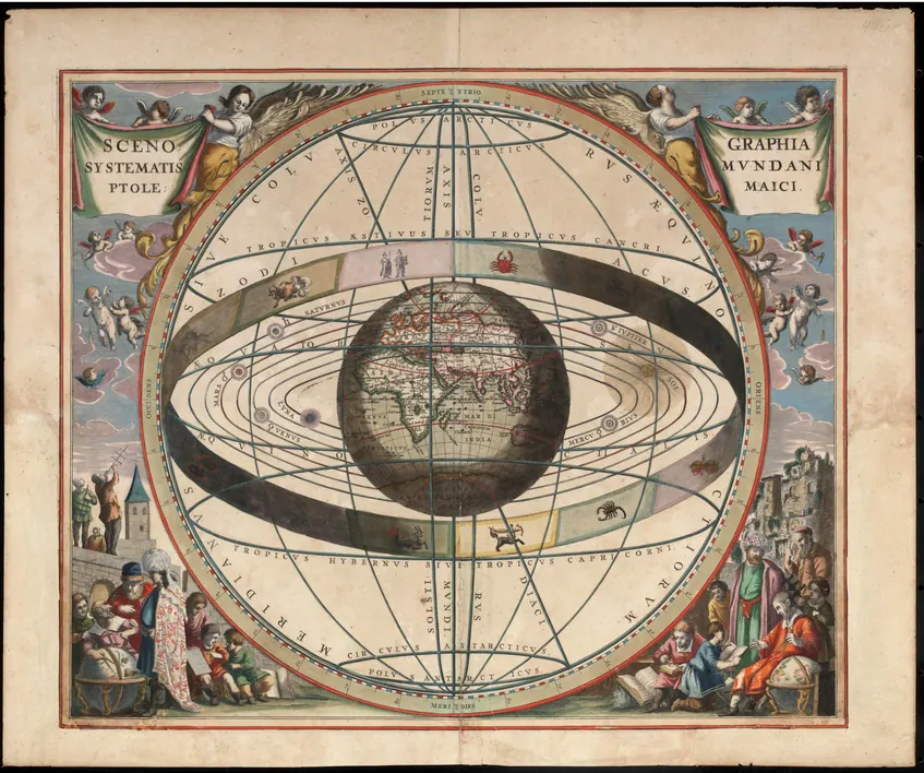 1660/1661
Cellarius, Harmonia Macrocosmica
A celestial atlas: 29 double-page engravings of the competing ways people pictured the universe.
MEMBERS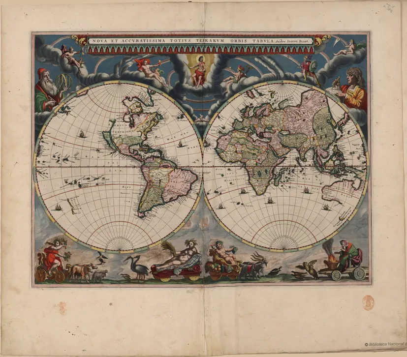 FROM 1662
Blaeu, Atlas Maior
The most expensive book of the seventeenth century: eleven volumes, nearly 600 hand-coloured maps.
Looking for older books of knowledge? See the historical encyclopedias.
Images are public-domain or openly licensed reproductions. See each map's page and the image credits for the holding institution and license.