
HISTORICAL MAPS · 1920S
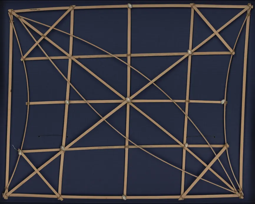
A Marshall Islands Stick Chart
A map with no land and no coastlines, made of sticks and shells, that teaches navigators to read the ocean's swells.
- Made by
- Marshallese maker (unrecorded)
- Date
- 1920s
- Held by
- Library of Congress, Washington, D.C.
- Medium
- Wood and shells, 74 × 91 cm
Loading the annotated map…