
HISTORICAL MAPS · LATE 12TH-CENTURY COPY OF A ROMAN ORIGINAL; SHOWN IN KONRAD MILLER'S 1887 FACSIMILE
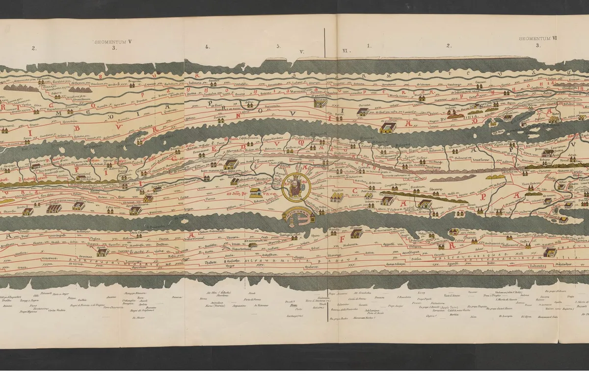
The Peutinger Map (Tabula Peutingeriana)
The only surviving map of the Roman Empire's road network, stretched into a ribbon nearly 7 metres long that runs from Western Europe to India.
- Made by
- Unknown medieval copyist, after a lost Roman original
- Date
- Late 12th-century copy of a Roman original; shown in Konrad Miller's 1887 facsimile
- Held by
- Austrian National Library, Vienna (Cod. 324)
- Medium
- Parchment scroll in 11 segments (shown here: Konrad Miller's printed facsimile, 1887)
Loading the annotated map…