
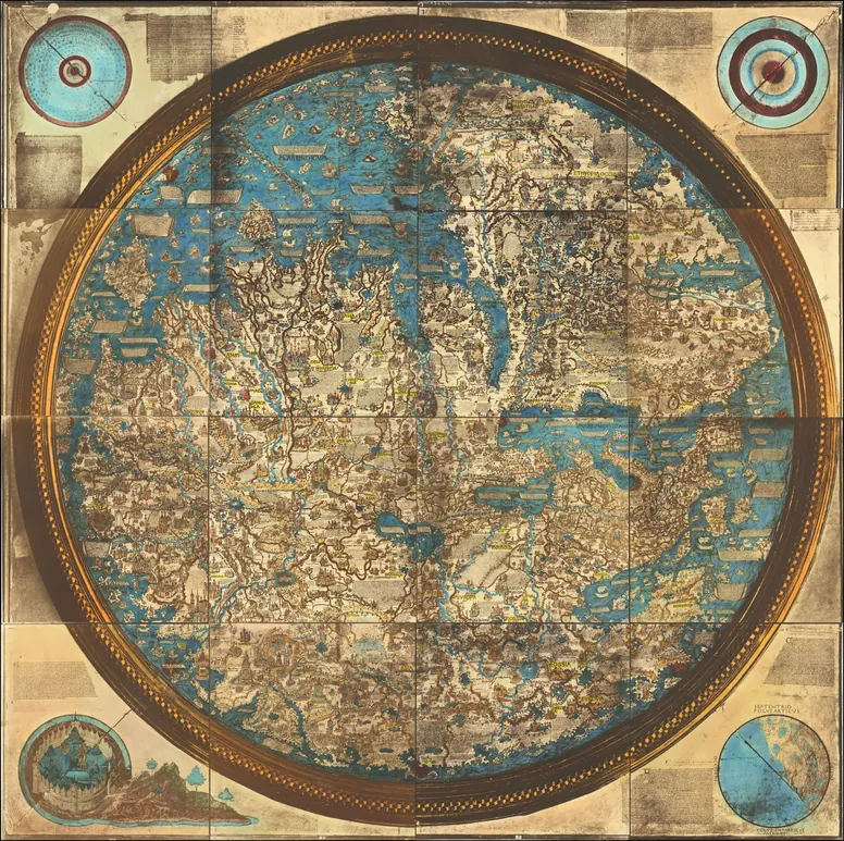
HISTORICAL MAPS · C. 1450 (SHOWN IN CARLO NAYA'S LIFE-SIZE PHOTOGRAPH OF 1873)
The Fra Mauro World Map
The summit of medieval mapmaking: a Venetian monk's world, drawn with south at the top, that showed Africa could be sailed around half a century before the Portuguese did it.
- Made by
- Fra Mauro, Camaldolese monk of San Michele di Murano
- Date
- c. 1450 (shown in Carlo Naya's life-size photograph of 1873)
- Held by
- Biblioteca Nazionale Marciana, Venice
- Medium
- Parchment on wood, circle about 1.96 m across
Loading the annotated map…